Cold front to bring severe storms to southeast Louisiana by Wednesday
A shift in the weather pattern is expected to turn Tuesday night into a period of strong thunderstorms before cooler air arrives.
By Sarah Reynolds ·
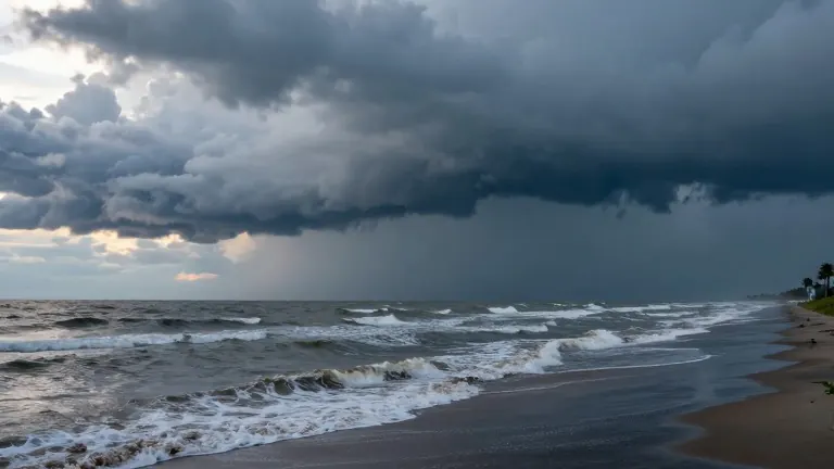
A cold front is moving into southeast Louisiana and southern Mississippi this week. It will bring a period of strong and potentially severe storms beginning Tuesday night. The weather system is expected to disrupt the warmer, cloudier conditions that have characterized the early part of the week.
Monday will feature mostly cloudy skies with a slight chance of passing showers. Winds will stay out of the east, keeping highs in the upper 70s. Tuesday, which is Election Day, will see temperatures rise into the low 80s. Showers and thunderstorms may develop during the day, but the primary threat for widespread rain arrives after dark.
Forecasters warn that the approaching front could trigger strong to severe storms between Tuesday night and early Wednesday. The exact path and intensity of the system remain uncertain as different weather models show varying outcomes. These details will determine how widespread the severe weather becomes as the system gets closer.
Once the front passes, cooler and drier air will settle into the region. Highs are projected to drop to the mid-70s by the end of the week. Rain chances will decrease as the air dries out. A second wave of cooler air might arrive next weekend, potentially lowering temperatures to the lower 70s.
Coastal residents should continue to monitor water levels. Persistent easterly winds are contributing to minor coastal flooding during high tide. A Coastal Flood Advisory remains in effect for parts of the Louisiana and Mississippi coast. Winds over the open Gulf are expected to increase to 15 to 20 knots after briefly easing.
The changing pattern marks a transition from the recent warmth to a cooler, drier period. The main focus for the coming days is the timing and strength of the Tuesday night storms. Locals are advised to stay aware of conditions as the front approaches the region.
Source: WVUE-DT