
South Florida faces flood watch as rain saturates ground before Election Day
Forecasters warn of flash flooding and high tide risks Monday, though conditions improve for Tuesday's voting.
By Sarah Reynolds ·
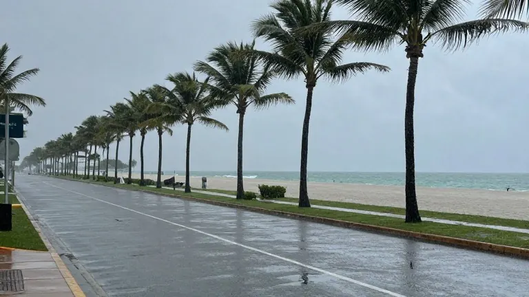
A Flood Watch remains in effect across South Florida until 7 p.m. Monday, as saturated ground from Sunday's rainfall creates conditions for rapid flash flooding. The National Weather Service has assigned a level 2 risk for excessive heavy rain, indicating a threat of significant accumulation in short periods.
Coastal areas face a separate risk from saltwater intrusion. A Coastal Flood Advisory is active due to high tide times that coincide with onshore winds. In Miami and Fort Lauderdale, the peak tide is scheduled for approximately 3 p.m. Key West residents should expect the highest water levels near 5 p.m.
Rainfall intensity will likely increase during the Monday afternoon hours following morning showers. Skies will remain overcast, keeping high temperatures in the low 80s. The weather pattern poses specific hazards for recreational users of the water. A dangerous high risk of rip currents exists along Atlantic beaches, and a Small Craft Advisory is in place for Atlantic waters. The Florida Keys currently have no active alerts.
The upper-level low-pressure system causing Monday's precipitation is expected to exit the region by Tuesday. This shift will lower the probability of rain for Election Day. Voters can still anticipate scattered showers and isolated storms, with highs remaining in the low 80s.
Temperatures will rise toward the end of the week. Mid to late-week forecasts call for afternoon highs in the upper 80s with spotty showers. A cold front is slated to arrive late in the week, bringing drier and less humid air. Weekend lows may drop to the upper 60s in some locations, while highs will settle in the low 80s.
Source: KCNC-TV