Snohomish County urges flood readiness despite milder El Niño forecast
County officials warn that rapid runoff from the mountains and melting snowpack could trigger sudden flooding, even without the atmospheric rivers seen last December.
By Sarah Reynolds ·
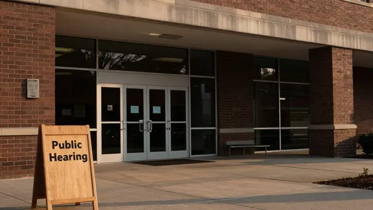
Snohomish County officials released a list of preparation resources on Monday to help residents ready their homes for the upcoming flood season.
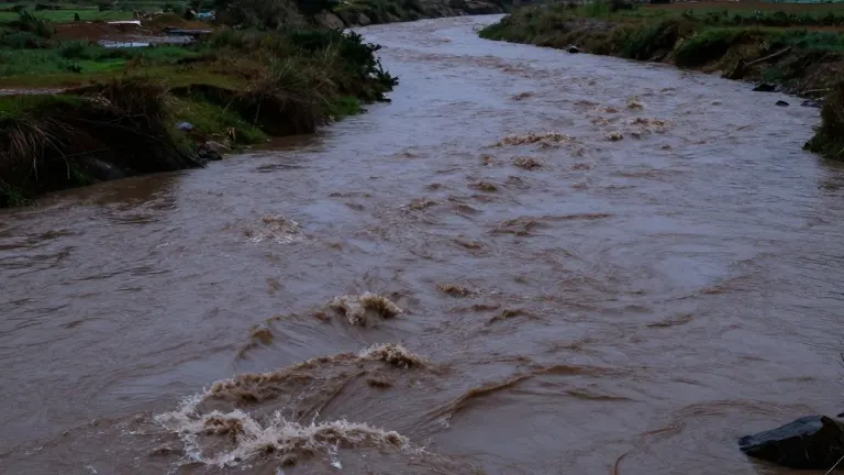
Lucia Schmit, the county's director of Emergency Management, noted that El Niño winters typically bring warmer temperatures and increased rainfall. These conditions can lead to rapid flooding as snow melts and rivers rise quickly.
“We have very flashy rivers here,” Schmit said. “We are so close to the mountains, where much of the rain falls. It really only takes a slight shift in the river track to dump all the rain we are expecting in one basin into an entirely different basin.”
The Wallace River, which joins the Skykomish River near Sultan, is particularly prone to rapid changes. Schmit explained that when rain lands in the basin, the river rises quickly and clears out just as fast once the rain stops. While the main Snohomish River often provides some warning, its tributaries can flood with little notice.
Last December, record flooding submerged 36,000 acres of the county, an area measuring 56 square miles. More than 800 residents were ordered to evacuate, and 52 roads were closed. Residents and business owners reported over $5.5 million in damages, while publicly owned infrastructure sustained $18 million in losses.
Maddie Kristell, a National Weather Service meteorologist, stated that the long stretches of continuous rain known as atmospheric rivers are not in this winter's forecast. El Niño influences the storm track to move toward the southern United States rather than the Pacific Northwest, generally resulting in milder precipitation.
However, Kristell warned that less snowfall and more rain could still lead to flooding. She pointed to recent winters where a warm system melted a considerable portion of the Cascades snowpack, contributing to flood levels. The National Weather Service can usually predict heavy rain three to eight days in advance.
Schmit cautioned that climate change introduces uncertainty into seasonal forecasts. “Climate science tells us likelihoods; it doesn't tell us certainties,” she said. She also noted that having record floods in consecutive years is now more common than previous generations might have expected.
County departments recommend that residents check the Snohomish County hazard viewer at bit.ly/4jIizIK to determine if their homes, schools, or workplaces are in a floodplain. The public safety hub at snoco.org/safety provides information on shelters and evacuations, and residents can sign up for phone or email alerts.
A disaster preparedness checklist is available at snohomishcountywa.gov/719 to help individuals build kits and plan alternate routes. Farmers can rehome livestock at the Evergreen State Fairgrounds in Monroe during an evacuation. Real-time flood data is accessible at snohomish.onerain.com, and residents with clogged drains or culverts can call 425-388-7500.
Source: Everett Herald · original report published
More News · Marysville news · Report a business · Got a Story?